Virginia’s Redistricting Map Insists It Only Knew Louise Lucas Socially
The lines are not under indictment, but they have abruptly become very interested in the distinction.
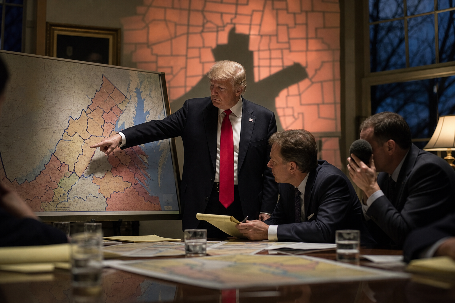
PARODY. Virginia’s congressional redistricting map announced Thursday that it had retained independent counsel following the federal indictment of state Sen. L. Louise Lucas, the powerful Democrat who helped lead the commonwealth’s recent redistricting push.
“The map would like to be crystal clear that it has never distributed marijuana, laundered money, influenced legislation for private gain, or attended any meeting where somebody said, ‘Make it less weird-looking,’” said a spokesperson for the map, standing beside a laminated outline of Hampton Roads that appeared to be sweating.
The map, a collection of voting districts that until this week had enjoyed the comparatively low-profile life of being accused only of partisan geometry, said it was “shocked, saddened, and reviewing every single line segment” after prosecutors alleged that Lucas led a criminal enterprise connected to marijuana distribution and used political influence to benefit it.
“Obviously, I knew Sen. Lucas,” the map said in a written statement. “Virginia is not that large, politically speaking. But it was professional. We met during a process. There were consultants. There were demographic files. At no point did I ask where the money came from. I am literally a map.”
The statement was immediately complicated by the map’s own past behavior. In a series of archived public hearings, it can be seen standing silently behind Lucas while she discussed district boundaries, occasionally widening around areas that were politically useful and then pretending it had always planned to do that.
By Thursday afternoon, the map had hired a high-powered crisis communications firm, which instructed every district line to stop answering questions with the phrase “it’s complicated.”
“The public is entitled to understand that a redistricting map is not its maker,” said the firm’s managing partner. “A map is a neutral civic instrument, except for the parts where it is a weapon, a compromise, a historical grievance, an incumbent-protection device, a demographic argument, and a shape that looks like somebody dropped a bowl of spaghetti on Tidewater.”
The firm then unveiled a new separation strategy: Virginia’s districts would each release individual statements establishing that they had encountered Lucas only in large rooms, under fluorescent lighting, while several lawyers spoke in turns about compactness.
District 3 said it was “deeply disturbed by the allegations” and had spent the morning deleting old calendar invitations titled “Redistricting Stakeholder Conversation.” District 7 announced it had never met Lucas at all, a claim it withdrew after discovering she had represented parts of it for years. District 18, which Lucas represents, requested privacy “during this difficult and mathematically contiguous time.”
A Map With Nothing to Hide, Except Its Entire Shape
The real emergency began when campaign operatives realized the map’s insistence on innocence had created a new political problem: if the map had to deny knowing things, that suggested it knew things.
Within hours, both parties had begun treating the boundaries as a potentially hostile witness. Democrats asked the map to remember the long public process that produced it. Republicans asked whether it had ever noticed anything suspicious about the people standing near it. The map’s attorney repeatedly objected on the grounds that its client could not speak, had no memory, and had been redrawn often enough to qualify for witness protection.
That last point became unexpectedly delicate. The map had hoped to distinguish itself from Lucas by emphasizing that it was merely an inert product of the political system. But this defense prompted reporters to ask why an inert product of the political system had spent years producing outcomes that seemed exquisitely aware of which neighborhoods vote in which direction.
“I contain multitudes,” the map replied, before its lawyer took away the microphone.
By evening, the map’s crisis team had settled on a final message: it would cooperate fully with any inquiry, turn over all available precinct data, and remind the public that being adjacent to political power is not the same as being responsible for it.
Then someone pointed out that adjacency is basically the map’s entire job.
At press time, Virginia’s districts had been instructed to maintain a respectful silence, avoid all unnecessary curves, and stop looking like the word “allegedly.”
Virginia’s Redistricting Map Insists It Only Knew Louise Lucas Socially
The lines are not under indictment, but they have abruptly become very interested in the distinction.
WHAT STARTED THIS MESS
The event underneath the joke is real. The SPILL premise, dialogue and escalation above are fictional parody.
- CBS Feds charge L. Louise Lucas, powerful Virginia Democrat, in alleged drug scheme ↗
- POLITICO DOJ indicts Virginia Democrat who led redistricting push on drug trafficking, money laundering charges ↗
- PBS NewsHour Louise Lucas - PBS ↗
- CNN Virginia state Sen. Louise Lucas indicted on drug and fraud charges ↗
- MS NOW Virginia state Sen. Louise Lucas charged with drug trafficking, money laundering, DOJ says ↗